The route is 20 km and makes for a full but manageable hiking day for experienced mountain hikers. It's a typical variation of the Peaks of the Balkans trail for those doing a shorter version of the full circuit.
Doberdol to Plav: Quick facts
- Distance: 20 km
- Elevation gain: 700 m
- Walking time: 6–8 hours
- Start: Doberdol, Albania
- Finish: Plav, Montenegro
- Highest point: approximately 2,100 m
- Main highlight: Lake Hrid
The route
From Doberdol, exit the valley up the clear trail which zig-zags uphill. After reaching the ridge (past a couple of false summits!), the trail continues through the high mountain landscape. After some time you will meet a 4x4 track, and at a bench rest area you will have the option to turn right and descend to Hridsko jezero (Lake Hrid).
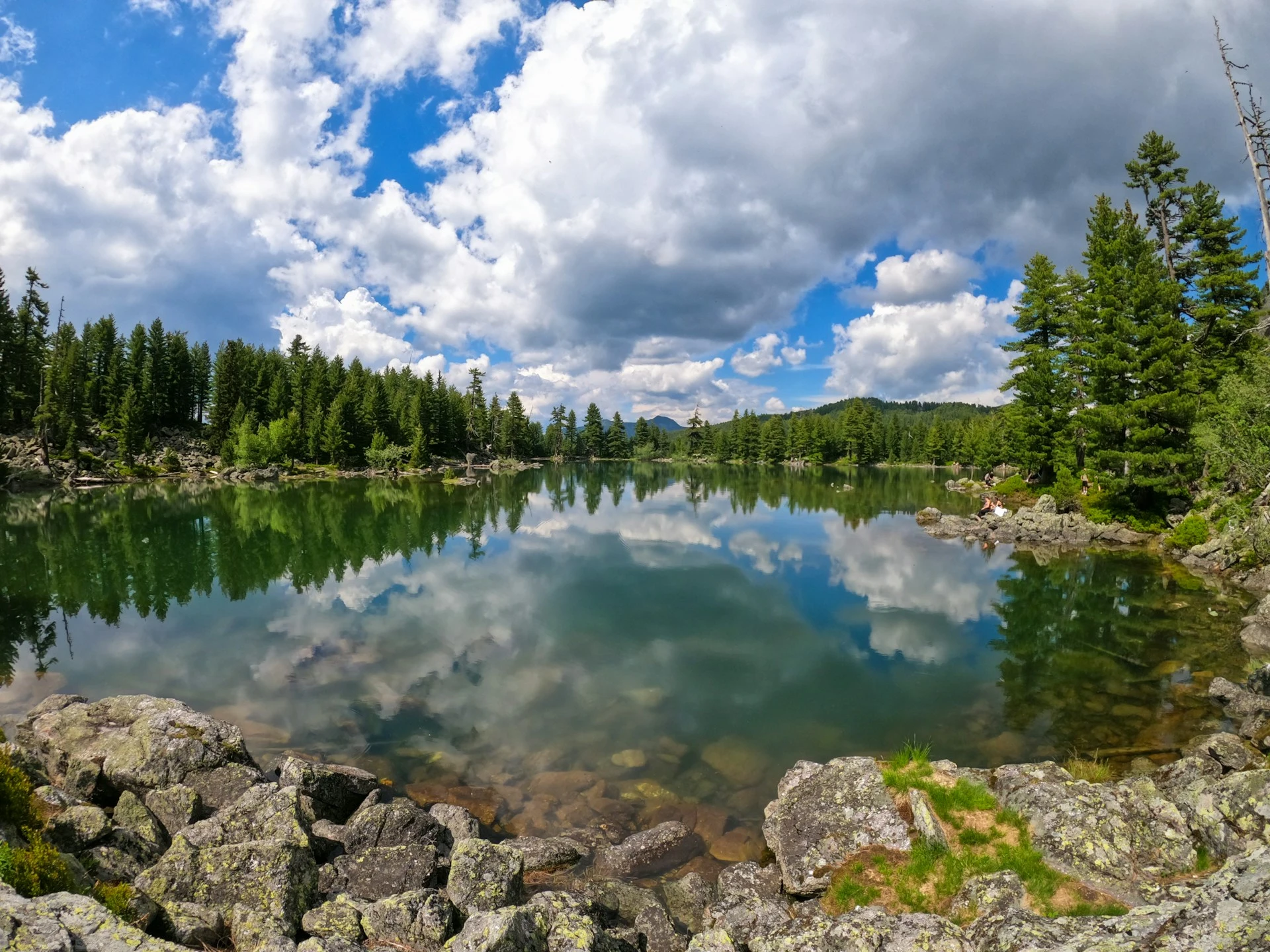
Lake Hrid sits at around 1,970 metres, surrounded by forest and dramatic mountain scenery. It's considered one of the most beautiful lakes in the Prokletije Mountains, and a great spot for a swim.
Hike the whole trail - we handle the admin
Border permits, guesthouse bookings, GPX files, transfers, and a guide available on WhatsApp. From €150 - you just turn up and walk.
Peaks of the Balkans: Self-Guided